Olympos Ancient City Map: Explore the Ruins and Beyond
Navigate the ancient ruins with our detailed guide to key sites, pathways, and surrounding attractions. Plan your exploration route before you arrive.
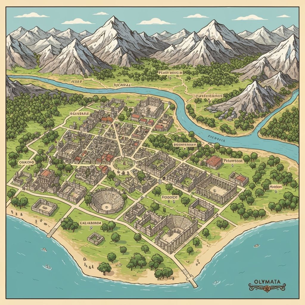
Olympos Ancient City Layout
The ruins stretch along both banks of the Ulupinar Stream
Key Sites on the Olympos Map
Located on the northern hillside, the theatre offers panoramic views of the valley. Look for the semicircular seating terraces partially hidden by vegetation.
The rock-cut tombs are carved into the cliff faces on both sides of the river valley. The most impressive examples are on the eastern cliffs.
Ruins of the ancient temple dedicated to the god of fire, located near the site entrance. Connected to the Chimaera flames legend.
The main entrance is located at the end of the access road from the village. Parking available nearby.
Follow the ancient main street southward through the ruins to reach the beach. The walk takes approximately 15-20 minutes.
Navigating Olympos: Tips for Visitors
The main path follows the ancient street along the river. Most ruins are accessible on foot, though some require light climbing.
Allow 2-3 hours for a complete exploration of both banks.
Enter from the north and head south toward the beach. The western bank has Roman structures; the eastern bank features Lycian tombs.
Signage is limited, so download offline maps before visiting.
Surrounding Areas on the Map
Extend your visit to explore nearby attractions within easy reach of Olympos
The eternal flames are located 7km north of Olympos. Access via Cirali village with a 30-minute uphill hike.
A quieter alternative beach located south of Olympos, popular for boat trips to nearby coves.
Adjacent to Olympos, this 3km stretch of pristine beach is a sea turtle nesting site with charming pensions.
Ready to Explore?
Now that you know the layout, plan your complete Olympos experience with our detailed travel guide.